
Name of river: The Nile River

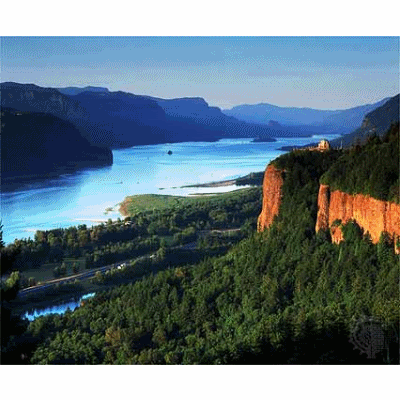
Map of Nile River
The Nile is the longest river in the world, stretching north for approximately 4,000 miles from East Africa to the Mediterranean. Studies have shown that the river gradually changes its location and size over millions of years. The Nile flows from the mountains in the south to the Mediterranean in the north.
There are three rivers that flows into the Nile from the south and thus serves as its sources: the Blue Nile, the White Nile and the Arbara. Egypt has always depended on the water of the Nile River. The two main tributaries of the Nile River are the White Nile and the Blue Nile. The source of the White Nile are the Sobat River Bahr al-Jabal (The "Mountain Nile") and the Blue Nile begins in the Ethiopian Highlands. The two tributaries converge in Khartoum, the capital of Sudan where they form the Nile River.
Problems of river: Municipal pollutants, agricultural pollutants, industrial pollutants, water pollution, hydropower dams
Uses of river: Hydro-electricity, water for drinking, water for crops irrigation, water for domestic supply, water for industrial supply, water for industrial use, transportation, tourism, waste disposal and fishing
References/Sources:
Source for picture: http://news.nationalgeographic.com/news/bigphotos/images/070619-amazon-river_big.jpg
http://sg.images.search.yahoo.com/search/images?p=nile+river&fcss=on&fr=yfp-t-101&toggle=1&cop=&ei=UTF-8
Source for information:
http://wiki.answers.com/Q/What_are_the_Nile_Rivers_uses
http://sitemaker.umich.edu/sec004_gp5/pollution
posted by Geography Rocks at
9:32:00 PM
|
0 Comments
![]()


